
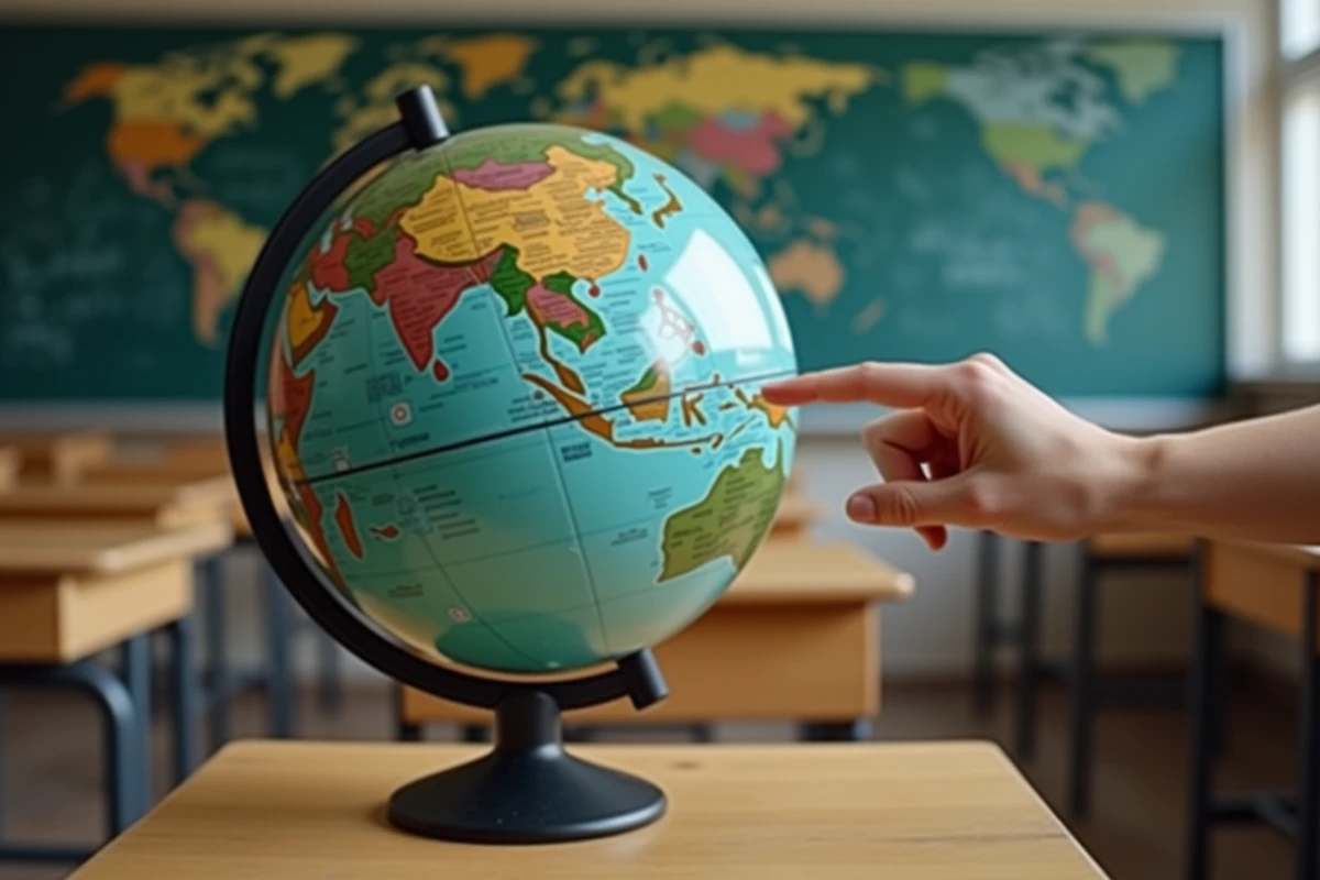
Locating Sri Lanka on a world map is like searching for a drop-shaped island, suspended beneath the southern tip of India. This South Asian island bathed by the Indian Ocean occupies a unique position: neither quite continental nor isolated in the open ocean. Its proximity to the Indian subcontinent and its role on international maritime routes make it a geographical landmark more strategic than it appears at first glance.
Coordinates and Map References of Sri Lanka
On a world map, Sri Lanka is situated between latitudes 6° and 10° north and longitudes 80° and 82° east. This places it in the tropical zone, slightly above the equator.
Recommended read : How Do Dogs Perceive Their Environment? A Look at Their Sensory World
| Reference | Position of Sri Lanka |
|---|---|
| Hemisphere | North (just above the equator) |
| Continent | South Asia |
| Ocean | Indian Ocean |
| Nearest Country | India (separated by the Palk Strait) |
| Characteristic Shape | Drop of water or teardrop |
| Administrative Capital | Sri Jayawardenepura Kotte |
| Economic Capital | Colombo |
The Palk Strait, a narrow body of water that separates Sri Lanka from India, measures only a few dozen kilometers at its narrowest point. On a small-scale map, the island appears almost glued to the subcontinent, which explains why some confuse it with Indian territory.
To quickly locate Sri Lanka, simply find India on the map and then look southeast along its coast. The teardrop shape immediately appears, resting on the Indian Ocean like a pendant at the end of the subcontinent. A world map with Sri Lanka well-detailed allows for visualizing this positioning in a matter of seconds.
Recommended read : Discover the best wild camping spots in the Landes for a nature getaway
Palk Strait and Connection with India: A Deceptive Geography
The proximity between Sri Lanka and India creates frequent cartographic ambiguity. On very small-scale maps (those that show the entire world on a phone screen), the island sometimes disappears under the label “India”. This is a common projection bias.
The Palk Strait is not just a simple body of water. It is punctuated by a chain of sandbanks and reefs known as Adam’s Bridge (or Rama’s Bridge according to Hindu tradition). This geological formation, visible on satellite images, almost physically connects the two territories.
However, this geographical connection does not translate into a uniform political or cultural continuity. Sri Lanka has its own linguistic, religious, and administrative identity, distinct from that of the Indian Tamil Nadu located opposite.
- Sinhalese and Tamil are the two official languages of Sri Lanka, while Indian Tamil Nadu speaks only Tamil.
- Theravada Buddhism predominates in Sri Lanka, unlike Hinduism which is predominant in southern India.
- The island has its own currency, the Sri Lankan rupee, distinct from the Indian rupee.
Identifying these differences helps to understand why Sri Lanka deserves an autonomous identification on the map, rather than a mere visual attachment to India.
Relief and Vertical Reading of the Sri Lankan Map
Most tourist maps of Sri Lanka focus on coastal cities and beaches. Reading the map in elevation tells a completely different story.
The center of the island is occupied by a mountain range whose peaks far exceed the surrounding hills. It is in this area that the tea plantations that made the former Ceylon famous are located. Localities like Haputale, perched in the highlands, offer a radically different viewpoint from the beaches in the south.
Ella, another high-altitude stop, attracts travelers for its panoramas over the cultivated valleys. The train journey between Kandy and Ella is one of the most photographed rail routes in South Asia.
West Coast, East Coast: Two Sri Lankas on the Same Map
The west coast (Colombo, Negombo, Galle) concentrates most of the organized tourism and hotel infrastructure. The east coast, on the other hand, remains more preserved. Recent travel content highlights its turquoise waters and uncrowded beaches, a stark contrast to the western facade.
This coastal duality is also explained by the monsoon. The southwest monsoon rains the west coast from May to September, while the east coast receives its rains between October and January. Reading the map of Sri Lanka without considering this climatic shift is like planning a trip blindly.
Maritime Position and Trade Routes in the Indian Ocean
Sri Lanka is more than just a travel destination. Its position on the world map gives it a considerable logistical role. The island lies on one of the busiest maritime routes on the planet, connecting the Suez Canal to the Strait of Malacca.
The port of Colombo is among the most active in the region. This strategic position also exposes the country to geopolitical tensions related to international maritime trade. Recent sources highlight Sri Lanka’s economic vulnerability regarding hydrocarbon imports and disruptions on these routes.
On a map centered on the Indian Ocean (and not on the Atlantic, as most European world maps are), Sri Lanka appears in a nearly central position. This change in projection radically alters the perception of the island: it shifts from “small drop south of India” to a maritime crossroads between Africa, the Middle East, and Southeast Asia.
Visa and Access from France: What the Map Doesn’t Show
A recent practical piece of information deserves to be noted: visa fees have been waived for the French, simplifying access to the country. This development, shared on social media in early 2026, makes Sri Lanka more accessible without costly formalities.
Colombo is connected to Paris by flights with layovers (usually via the Gulf). The total travel time is around twelve hours depending on connections.
- No direct flight from Paris to Colombo on standard European airlines.
- The most common layovers are in Dubai, Doha, or Abu Dhabi.
- The time difference between France and Sri Lanka is several hours ahead (variable depending on daylight saving time).
Placing Sri Lanka on a world map also means measuring the actual distance that separates the island from Europe. The country is located halfway between the Middle East and Southeast Asia, a position that traditional cartographic projections tend to compress. Choosing a world map centered on the Indian Ocean rather than the Atlantic remains the best way to grasp where this island truly lies.